Natural Resources Inventory & Monitoring
The Allagash Wilderness Waterway (AWW), in northwestern Maine, is a 92-mile lakes and river system flowing south to north through a vast, largely privately- owned working forest. The ecological integrity of the Waterway, as well as the experience of visiting it, depends mainly on the quality of its waters and the habitats the Waterway provides for native flora and fauna. The Allagash is especially important as it is the largest undeveloped watershed east of the Rocky Mountains. It is without permanent settlements, public or paved roads, and utilities and it is the only large watershed in the U.S. harboring intact populations of native, wild Brook Trout, Lake Trout, Lake Whitefish, and Burbot in its large lakes, ponds, and river, together with all their tributaries.
A Comprehensive Inventory and Ecological Assessment of the Waterway is the first phase of the AWW-Natural Resources Inventory, Ecological Assessment, and Long-Term Monitoring initiative (NRIM). It includes the physical environment (topography, hydrology, bedrock, soils), and its biodiversity (terrestrial and aquatic species and ecosystems) within the context of the Pre-1841 Allagash Watershed. it also addresses the current and future resilience of the Waterway in the face of a warming climate and changing forest practices. The initial inventory and ecological assessment report is now complete. A download of the report is availabe on the Digital Maine Library.
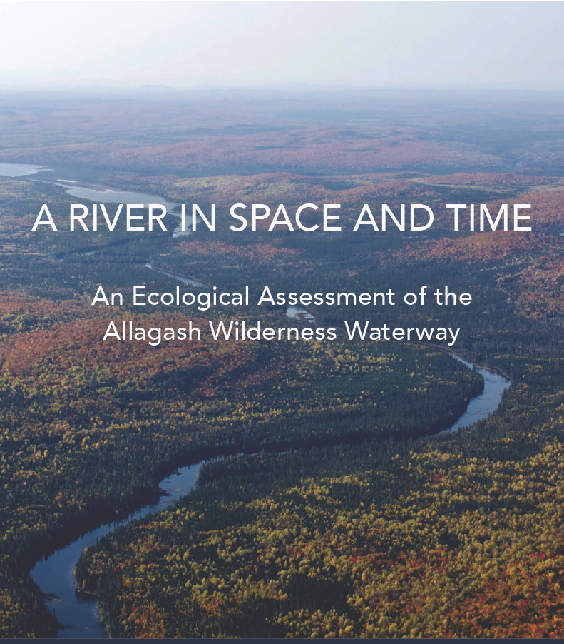
A River in Space and Time V1 is available here.
A River in Space and Time V2 – Maps is available here.
The Coldwater Fisheries Habitat Temperature Monitoring Project (CWFHTM) is recording baseline thermal conditions in AWW tributaries and along the main stem of the river. Fisheries biologists will prioritize the tributaries according to their current contribution to sustaining brook trout populations, their vulnerability to temperature increases, and their potential to maintain conditions that will allow brook trout in the AWW to adapt to anticipated temperature increases in the long term. Protocols for an ongoing monitoring program will be established for the most important tributaries.
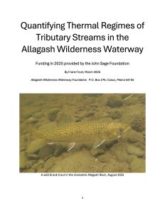
The report on the 2022, 2023 and 2024 CWFHTM is available at the link below; and AWWF plans to continue this monitoring project through the summer of 2026 at a minimum.
AWWF Coldwater Fisheries Report is available here.
The AWWF Coldwater Fisheries 2025 Report is available here.
Why Is This Work Being Done?
Both of the above efforts are being conducted in partnership with the Maine Bureau of Parks and Lands and with the assistance of the Maine Department of Inland Fisheries and Wildlife, the Maine Natural Areas Program, and the USGS.
Information from the ecological assessment – “A River in Space and Time” and CWFHTM report will inform future management decisions along the AWW. AWWF will also seek cooperative engagement with adjacent private landowners to help conserve the ecological integrity of the AWW.
Future phases of the NRIM include an interpretive natural heritage pocket guide similar to Allagash Explorer; and, in collaboration with other public and private landowners and Wabanaki representatives, the development of an ecological monitoring protocol focused on the ecological integrity of the Waterway, with emphasis on the impacts of climate change.
The NRIM has four established goals, to protect and enhance the resources and experience of the Waterway:
- Establish an inventory and ecological assessment baseline for the Waterway.
- Inform the Allagash Wilderness Waterway and Maine Bureau of Parks and Lands’ policy, planning, and management decisions on the Waterway and all BPL lands within the Allagash watershed.
- Raise general public awareness of the ecological importance of the Allagash region.
- Seek collaboration with adjacent private landowners within the Allagash watershed regarding:
- Maintaining coldwater fish habitat
- Protecting open and forested wetlands
- Increasing percentage of the watershed’s forest that is in a late successional forest condition
- Enhancing biodiversity within the watershed and ensuring that it remains a strategic corridor connecting the forests of the Western Maine Mountains and the boreal forest in Quebec and New Brunswick
- Maintaining a regional landscape that is highly resilient to the impacts of climate change.
The Allagash Wilderness Waterway Foundation has received financial support for the NRIM initiative through a Challenge Grant from the Don and Hilda Nicoll Family, Phyllis Jalbert, generous contributions from many individuals, and the support of the following foundations and corporations: Allagash Brewing Company, Davis Conservation Foundation, J. M. Hopwood Charitable Trust, John Sage Foundation, Horizon Foundation, Maine Outdoor Heritage Fund, and Oceans Ledges Fund. In addition the Allagash Wilderness Waterway staff, Maine Natural Areas Program, Maine Department of Inland Fisheries and Wildlife and USGS have provided direct support for these efforts.